
Finding The Woodlands Residents
The Woodlands is a Census-designated place and master-planned community, not an incorporated city with one clerk-held resident roll. That changes the search. Begin by confirming the parcel and county, then use the record that matches the question. Montgomery County serves most villages and Town Center. Creekside Park is in Harris County, so a property, court, election, or appraisal search may need a Harris custodian even when the address is commonly called The Woodlands. A name alone is rarely enough. Add an address, village, date, middle initial, case number, or legal description before treating two records as the same person.
Official records can show ownership, a recorded party, a voter-status result, a public civic role, or a historical household. None is a complete count of current occupants. An appraisal owner may receive tax mail elsewhere. A deed records a transaction. A historical directory is dated evidence. Keep the record date with the result, and use two independent sources before drawing an identity or address conclusion.
- Check the full street address in the Township parcel map and identify its county, village, and parcel identifiers.
- Use the county appraisal search for ownership and situs context, then save the property or geographic identifier shown there.
- Run the County Clerk official-records index by grantor, grantee, subdivision, instrument number, date, or legal-description term.
- For a one-person status check, use the county voter lookup only within its stated rules and confirm any matching details elsewhere.
- For older household research, consult MCMLS, TSLAC, or the historical society, then request an existing public record from its actual custodian when needed.
The Woodlands Records Offices
Most current record routes begin in Montgomery County. The County Clerk keeps official public records and county-court functions; Montgomery Central Appraisal District maintains property-tax context; and Elections handles individual voter status. The Township holds a different layer: maps, village and covenant geography, public meetings, permits, and records it created. A request should go to the office that created or maintains the specific record. The Township cannot supply an MCAD appraisal card, and an appraisal card cannot establish that someone lives at the parcel today.
In-person options remain useful when an index is incomplete. The County Clerk copy form supports mail and counter requests for plain or certified official-record copies. MCAD, Elections, and the Genealogy Center are also in Conroe. Texas Government Code Chapter 552 provides a route for existing government records that are not posted online, but it does not override a confidentiality rule. Narrow a request by address, parcel, date range, and record type, and ask for segregable nonconfidential material when appropriate.
Montgomery County Clerk
Official Public Records
210 W. Davis St., Suite 100, Conroe, TX 77301
936-539-7885
Montgomery Central Appraisal District
Property tax and appraisal records
109 Gladstell St., Conroe, TX 77301
936-756-3354
Montgomery County Elections
Voter Registrar
9159 Airport Road, Conroe, TX 77303
936-539-7843
The Woodlands Parcel Trail
The MCAD Property Search is the official entry point for Montgomery County appraisal records. Its live application is dynamic, so field labels can change, but the property workflow uses owner name, property address, account or property ID, geographic ID, and legal description. A property card can carry a situs address, mailing address, values, exemptions, taxing units, deed references, and map links. Treat it as tax and appraisal context. The owner field is not a promise that the named party is currently at the property, and it is not a substitute for a protected-address check.
When a plain address search stalls, the Township parcel layer adds local geography. It exposes address, ZIP, village, subdivision, legal-description, plat, section, block, lot, tract, association, and appraisal-related fields. That makes it useful for distinguishing two similarly named streets or a postal label that crosses a jurisdiction. The Woodlands streets reference keeps the appraisal and GIS workflow in one place for a full address-by-address trail.
- Parcel
- A defined piece of land used by appraisal and map systems, commonly linked to an identifier and legal description.
- Situs address
- The physical property address used to identify the parcel. It can differ from the owner's mailing address.
- Plat
- A recorded map that lays out a subdivision, its lots, blocks, easements, or streets.
- Index
- A search aid that points to a record or image. An index entry is not the same thing as a certified copy.
View the official MCAD Property Search entry screen before searching a parcel.
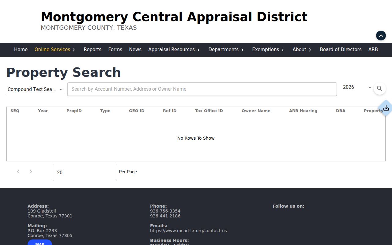
The screen is a starting point, not a record of a particular household. Verify the county first for Creekside addresses.
The Woodlands Deed Index
The County Clerk's Official Records Search links people and parcels through recorded instruments. Quick Search accepts a term and a recorded-date range, with choices for index-only searching or index plus full-text OCR. The search prompt identifies grantor, grantee, subdivision, document type, and document number as useful terms. Index-only results use filed index data. OCR can find a phrase in scanned document text, but recognition errors can also create false matches. Run the two modes as separate passes and record which one produced the result.
| Official-record field | Search use | Careful reading |
|---|---|---|
| Search Term | Grantor, grantee, subdivision, document type, or document number | Use exact and variant spellings |
| Recorded Date | Limit the result set to a period | A recording date is not necessarily the signing date |
| Index Only | Search the recorded index | Multiword terms are treated as individual words |
| Index and Full Text | Search OCR document text | Phrase matches need verification against the image |
A grantor transfers or gives an interest; a grantee receives it. Those roles create a document trail, not a current resident list. The County Clerk copy form lists $1 per page plus $5 for a certified copy and estimates 24 to 72 hours based on receipt time, staffing, and volume. It calls for a signature, a check with contact details, a legible ID copy, and a self-addressed stamped envelope for mailed orders.
Check the Official Records Search controls before entering a term.
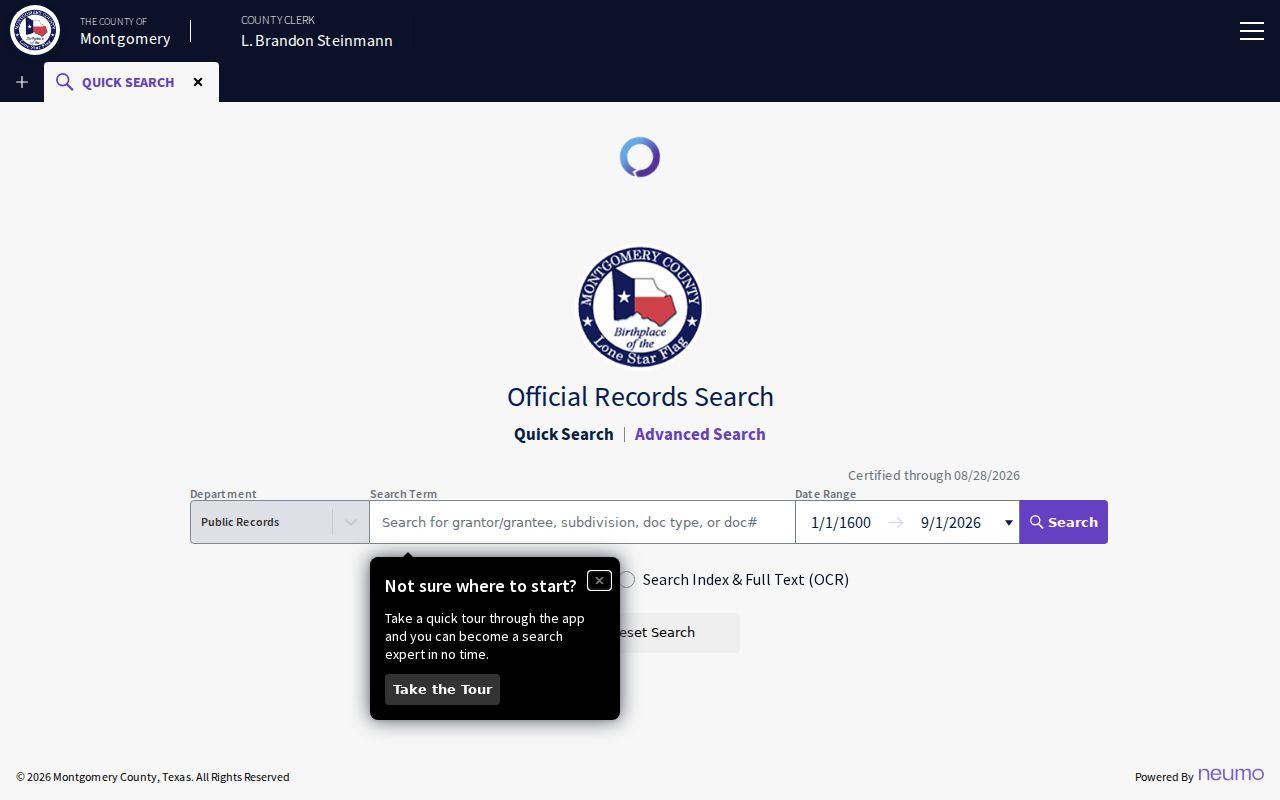
The date and search-scope controls help document what was checked when a deed or plat result is used as a lead.
The Woodlands Voter Records
The Montgomery County voter lookup is built for an individual status check, not a general roll browse. It asks for last name, first name, birth month, day, and year. Texas Election Code Section 18.009 warns against using voter-registration data to advertise or promote commercial products or services. That warning matters even when a screen is publicly reachable. For a statewide registration status route, use the Secretary of State's Am I Registered? service.
Texas guidance also recognizes confidentiality protections. A residence address can be suppressed online, alternate-address programs protect some eligible people, and a public-information request may still be subject to separate disclosure law. Do not try to work around a suppression by matching records across portals. A voter result can help distinguish names or precinct context, but it should never be presented as proof of a person's home or as a complete resident roll.
The Woodlands Township Geography
Local geography is the most useful first check in this community. The Township's Parcel FeatureServer supports attribute and spatial queries, GeoJSON output, pagination, and a maximum record count of 10,000. Its fields include formatted address, ZIP code, village, subdivision, legal description, plat and replat dates, section, block, lot, and association numbers. The Boundary and Streets map service separately shows street centerlines, parcels, water, and community boundaries.
That detail resolves a common local mismatch. A postal city can be Spring or Conroe while the Census CDP, Township boundary, county, and delivery ZIP follow different lines. Creekside Park is a Township village in Harris County. Eight other villages and Town Center are in Montgomery County. Record the county beside the address before choosing an appraisal district, clerk portal, elections office, or court route.
See the Township's map gallery for its official mapping entry points.
The gallery is useful for determining which map or layer fits the address question before treating a postal place name as a jurisdiction.
Current The Woodlands Directories
There is no single official directory of everyone in The Woodlands. The closest public sources are purpose-specific. Property and deed indexes identify record parties and parcel context. Voter tools are individual-status routes with strict safeguards. Township civic sources identify public roles, meetings, village geography, and address-linked activity. Each source has a keeper, date, and scope. Read those limits before combining results.
| Source | Who It Lists | Keeper | Access |
|---|---|---|---|
| MCAD appraisal record | Owner and property-tax context | Montgomery CAD | Public search entry |
| County voter lookup | Individual registration status context | Montgomery Elections | Individual tool with statutory limits |
| Official-record index | Grantors, grantees, and recorded instruments | County Clerk | Public index; copies have procedures |
| Township GIS | Parcel, village, ZIP, and association geography | The Woodlands Township | Public service layer |
| Residential elections | Public candidates and representatives | The Woodlands Township | Civic record, not a census |
| Village association links | Community contacts and activity | Independent associations | Varies by association |
Choose the source based on the fact being checked. A parcel question belongs with MCAD and GIS. A recorded transfer belongs with the Clerk. A historic household lead belongs with a directory or newspaper. When records must consistently identify one person, the The Woodlands resident lookup workflow emphasizes date, county, and two-source verification.
Official sources preserve the custodian, date, and record type. Commercial people-search tools may combine data from many dates and sources, so use an official record to verify any lead rather than treating a compiled profile as a final answer.
| Check | Official record route | Compiled search result |
|---|---|---|
| Who recorded a transfer? | County Clerk instrument index and copy process | May omit recording details or mix dates |
| Which parcel is meant? | MCAD plus Township GIS and legal description | May rely on an old mailing or address match |
| What is the record's status? | Custodian portal, office, or certified record | Requires source-date verification |
The Woodlands Public Requests
The Texas Public Information Act, Texas Government Code Chapter 552, is a fallback when an existing Township or county record is not available through a public portal. The Attorney General's guidance says the request must be written and sent to the governmental entity's public-information officer or chief administrative officer. No special form is required. Ask for existing records, not for the office to answer questions, create a report, or keep a request open indefinitely. Naming a record type, address or parcel, date range, and preferred format makes a request easier to route.
The Township uses JustFOIA and also identifies online, mail, email, and in-person channels for written requests. The request page identifies Lisa Morris as analyst and lists publicinformation@thewoodlandstownship-tx.gov. Send an appraisal request to MCAD, a deed question to the Clerk, and a Township map or permit request to the Township. Inspection is often free, while copying can bring permitted charges. The state handbook describes an itemized estimate when projected charges exceed $40.
Note: Ask the custodian for electronic files or searchable PDF when available, and keep the request number, date, and any redaction explanation with the records received.
The Woodlands Genealogy Center
For an older person, family, or address, the MCMLS Genealogy and Preservation Center offers a local research path beyond live government interfaces. The library reports more than 40,000 unique physical items and more than 200 maps, plus local vertical files, periodicals, and broader family-history collections. Its catalog can be narrowed by selecting the Genealogical and Local History Room, then searching Keywords, Title, Author, Subject, Series, or ISBN. The Center offers 45-minute appointments for family trees, FamilySearch, family mysteries, and DNA-related genealogy questions.
The Center is at 104 I-45 N in Conroe. It lists Monday through Thursday hours of 9 to 6, Friday and Saturday hours of 9 to 5, and Sunday closure, so confirm before a visit. Its digital-newspaper resources include the historical Courier archive from 1925 to 1983 and searchable Courier of Montgomery County or Courier of Conroe coverage from 2008 forward. A newspaper item is a useful lead, not proof. Pair its issue date and page with a deed, directory, court record, or official notice.
Use the MCMLS genealogy services page to check the current collection and appointment details.
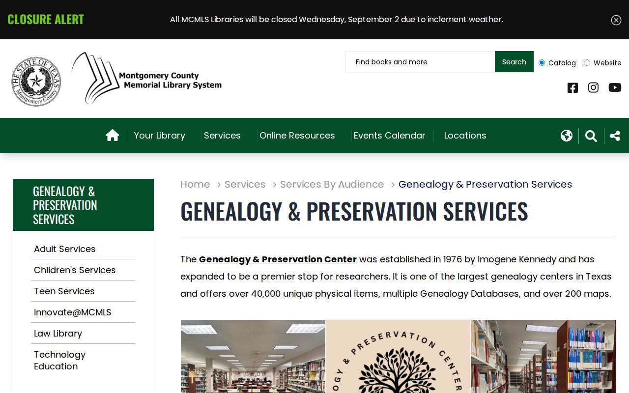
The collection screen points to research help and catalog routes without turning a historical item into a claim about a current resident.
The Woodlands Village Clues
Village names are practical search terms in The Woodlands. The Township lists Alden Bridge, Cochran's Crossing, College Park, Creekside Park, Grogan's Mill, Indian Springs, Panther Creek, and Sterling Ridge. Most village associations are independent, resident-led organizations. Their links, public election notices, and community information can identify civic activity or a record route, but they are not membership lists. The Township's residential-election material names candidates and representatives for specific public roles and years, not every household in a village.
Covenant areas add another address clue. WCA covenants cover Panther Creek, Grogan's Mill, Cochran's Crossing, and Indian Springs east of Falconwing Drive. TWA covers Alden Bridge, College Park, Creekside Park, Sterling Ridge, and Indian Springs west of Falconwing Drive. The split in Indian Springs is a reason to retain the side of the street, parcel, association, and county in research notes. A geographic overlay can route a question to a custodian without making a claim about a household.
The Woodlands Records Since 1974
George P. Mitchell's community began in 1974. The Township's governance chronology marks the later 1993 TCID milestone, 2007 governance expansion, and transition to the current Township structure on January 1, 2010. That timeline matters for records. A recent permit, covenant, association, map, or public meeting may sit with the Township. Older land and probate work may lead back through county records and state archives. Montgomery County's archival inventory begins many series in 1838, well before The Woodlands development era.
TSLAC lists Montgomery deed records from 1838 to 1887 and deed-of-trust records from 1872 to 1891, with direct and reverse indexes and documented missing-volume limits. The online official-records portal does not replace those reels. A negative online result is not proof that an old instrument never existed. Record the volume, page, legal description, original spelling, and source date before concluding that two historic mentions describe the same person or parcel.
Historical The Woodlands Directories
No exact The Woodlands city-directory run was located in the authoritative state holdings reviewed for this research. The closest confirmed local shelf is TSLAC's Conroe holdings for 1984, 1988, 1990, and 1992. TSLAC provides access in its Austin reference reading room and says staff cannot search or transcribe directory entries by phone or email. For a planned community that began in 1974, regional directories, telephone directories, newspapers, parcel chronology, and library vertical files are useful companions, not interchangeable proof.
A dated directory may record a name, address, telephone number, spouse, occupation, or tenure notation. It establishes a historical appearance in that edition. It does not confirm that the person is at the same address now. The The Woodlands city directories collection route explains the confirmed shelves, reading conventions, and household-tracing process in depth. Keep each edition year and page number beside every historical finding.