
Walking The Woodlands Street Records
A useful The Woodlands street search is a chain, not a single result. First, preserve the address exactly as written. Then confirm its county before choosing a county appraisal district or clerk. For most of the community that path is Montgomery County, but Creekside Park is in Harris County. Next, use the property record for appraisal context and the Township parcel service for the geographic identifiers that survive short street-name searches. The legal description is especially useful when an address has changed format, has a postal city label that says Spring or Conroe, or lies near a boundary.
- Validate the full address through USPS and record the postal city, ZIP, village, and county separately.
- Use the Montgomery Central Appraisal District record for the current parcel and ownership context, or use Harris County systems for Creekside.
- Query the Township parcel layer for PID or ParcelID, subdivision, section, block, lot, tract, and legal-description details.
- Search Montgomery County Official Records by the owner name, subdivision, document type, instrument number, date, or legal-description term.
- If an individual voter-status check is relevant and lawful, use the county form with the person’s name and date of birth rather than treating a street as a voter list.
- For a historic household lead, test the TSLAC Conroe directory years and the MCMLS catalog, while noting that no exact The Woodlands directory run was located.
That by-address sequence keeps the research grounded in records that have different roles. It also avoids the common mistake of treating an address match as proof of a household. For older household leads, the limited regional directory holdings are better handled through the historical collections on the The Woodlands city directory page.
The Woodlands Property Search
The Montgomery Central Appraisal District Property Search is the starting place for most The Woodlands street directory work in Montgomery County. The public entry point supports searches associated with owner name, property address, Property ID, Geographic ID, and legal description. A live card can supply parcel and appraisal context, including a situs address, owner mailing address, taxing units, values, exemptions, deed references, and map links. The dynamic application should be checked live because labels and available result fields can change.
| MCAD search key | Use in a street search | What to retain |
|---|---|---|
| Owner name | Find a parcel when a recorded instrument names a party | Exact spelling and Property ID |
| Property address | Start from a full civic address | Situs format and Geographic ID |
| Property or Geographic ID | Return to one parcel after a map search | Identifier and source date |
| Legal description | Resolve a short, changed, or duplicate street name | Subdivision, block, lot, and tract text |
Here is the MCAD property-search entry point captured for this The Woodlands address-research route.
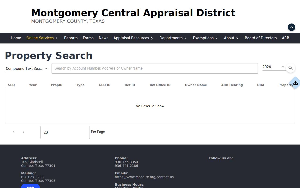
Use the page to reach the current appraisal application, then record the card’s identifiers before moving to deeds or GIS. An appraisal owner is a district record at an appraisal point in time, not proof of current occupancy.
The Woodlands GIS Street Layers
The Township combines its map gallery, a parcel FeatureServer, and the boundary-and-street MapServer into a strong by-address reference set. The parcel layer exposes civic and formatted address fields, ZIP_CODE, village, subdivision, PID or ParcelID, section, block, lot, tract, legal-description text, plat and replat dates, and association attributes. Its ownership-related fields are GIS attributes. Cross-check them with the appropriate appraisal district before relying on them as ownership context.
The boundary-and-street service distinguishes street centerlines and thoroughfares from parcels, streams, lakes, wetlands, the formal boundary, and the broader Woodlands Area. That matters on a by-street search because a road can be an access feature while the recorded land is identified by a different subdivision or plat. The service supports spatial queries, GeoJSON, pagination, and distance filters, with a maximum record count of 10,000. Its published text did not state an update cadence.
This Township GIS map-gallery view points to the official layers used to orient a The Woodlands address search.
Map layers help document where a parcel sits. A nearby parcel or an owner attribute does not establish that a person lives there or has any relationship with another household.
The Woodlands Postal Street Labels
Postal naming is a real trap in The Woodlands street records. A valid community address can use Spring or Conroe as its postal city, while the CDP, Township boundary, county boundary, village, and ZIP map follow different lines. The research supports a simple worksheet: retain the USPS city and ZIP, the Township parcel village and boundary context, the county, and the appraisal district. Do not use a postal label as county proof.
Start with the live USPS ZIP Code Lookup, then confirm the parcel in Township GIS and route the record search to the matching county. Creekside Park illustrates why this step matters. It is one The Woodlands village, yet it lies in Harris County. The Montgomery property roll, clerk index, court, and voter system are not a complete route for a Creekside address.
Street-search note. Postal city, county, ZIP, village, and parcel identifiers are separate fields. Save each one before deciding which public office holds the next record.
The Woodlands Street Deed Trail
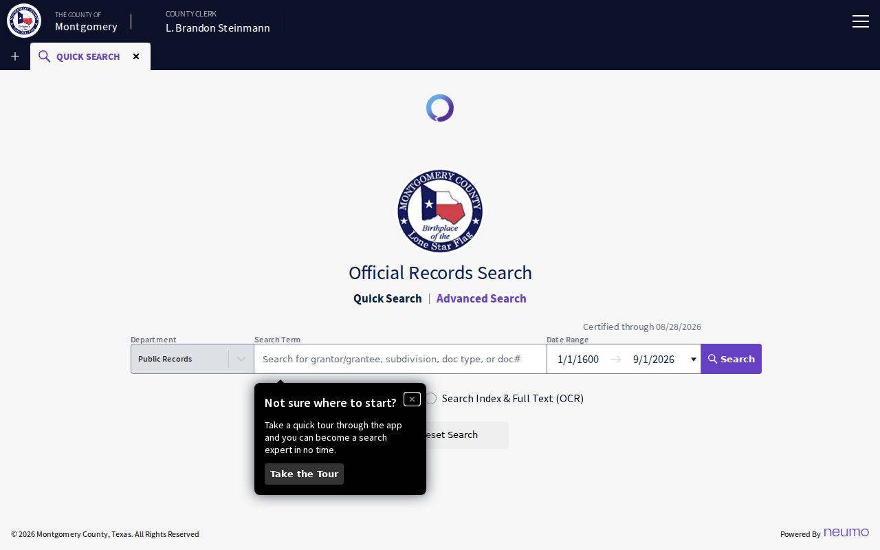
The Montgomery County Official Records Search turns a confirmed parcel into a transfer trail. Quick Search accepts a grantor or grantee, subdivision, document type, document number, or a recorded-date range. It offers an index-only choice and an index plus full-text OCR choice. Index-only is a focused first pass. OCR can help with a phrase in the document text, but scanning errors can create false matches.
The official Quick Search screen shows the county's starting controls for a street-linked instrument search.
For each useful hit, capture the instrument number, recorded date, document type, indexed grantor and grantee spelling, legal-description or subdivision text, volume and page or image reference, and image-access state. Search the buyer as grantee to locate a purchase, then search the seller as grantee for the prior purchase. A transfer can involve an entity, trust, or different legal description, so a missed name hit is not a final answer.
Plain and certified copies follow a separate county process. The request form lists $1 per page and an additional $5 for a certified copy, with a 24 to 72 hour estimate based on receipt time, staffing, volume, and request conditions. Mail or bring the signed request to the County Clerk, include a check showing name, address, and phone, a legible ID copy, and a self-addressed stamped envelope. The form says no cash. The clerk’s office is at 210 W. Davis Suite 100, Conroe, TX 77301, phone 936-539-7885.
Civic Access at Woodlands Addresses
The Township’s Civic Access portal is an address-related source for permit submissions, public-record searching, invoice payment, and neighborhood activity exploration. Create an account before submitting an application. The portal accepts cards or e-check when a fee applies and does not accept cash. Its exact public-search filters and permit-type controls were not captured in the research, so do not assume a particular street query or result field will appear.
Use an activity only for what it documents: an application, review, permit, date, type, or status tied to the displayed parcel or address. It can name an applicant, contractor, owner, or association contact if those fields are public. It cannot prove who occupies a home. For Township-held material that is not available in a portal, the written Texas Public Information Act route is the appropriate fallback. The Township request page offers JustFOIA plus mail, email, and in-person channels.
The Woodlands Street Records
No one record set is a complete street directory. The table below separates the public address-linked sources by the narrow thing each one can show. It also preserves the alternate channels when the online screen is incomplete or a historic instrument is not indexed.
| Address record | Custodian | Street-level use | Alternate route |
|---|---|---|---|
| Appraisal card | MCAD, or HCAD for Creekside | Parcel, appraisal owner, situs, legal description | Appraisal district counter or phone |
| Parcel and map layers | The Woodlands Township GIS | Address, ZIP, village, plat, lot, and geometry | Township counter or PIA request for Township-held material |
| Recorded instruments | Montgomery County Clerk | Transfers, plats, restrictions, and legal-description trail | Copy request, clerk counter, or TSLAC microfilm |
| Voter status | Montgomery County Elections | Individual status check with required identifying inputs | Election office or permitted public-information route |
| Public activity | Township Civic Access | Activity number, type, date, and status when displayed | Covenant Administration or Township PIA |
The voter lookup asks for last name, first name, and date-of-birth month, day, and year. It is for individual status checking, not a street roster. The page warns that using voter-registration data to advertise or promote commercial products or services can be a Texas Election Code Section 18.009 Class A misdemeanor.
Woodlands Street Record Terms
These terms make it easier to carry a single address across a property roll, map, and deed index without treating the sources as interchangeable.
- Parcel
- A mapped unit of land with its own identifier and geometry. A parcel may have a civic address, but it is not a household roster.
- Situs address
- The property location used on an appraisal record. It can differ from an owner mailing address.
- Plat
- A recorded map that lays out a subdivision or lots. Plat, block, and lot details can be more stable than a short street phrase.
- Legal description
- The recorded land description, often using subdivision, section, block, lot, or tract language. It is the better join for older or replatted records.
For a difficult street directory search, copy the legal-description terms from GIS or MCAD into the clerk portal and search them with the subdivision name. That is often more reliable than guessing how a street was abbreviated in an older index.
Creekside Street Routing
Creekside Park needs a separate street directory route. Township material identifies it as the ninth village, but it is in Harris County. Confirm the parcel first, then use Harris County appraisal, clerk, court, election, and related systems for county-held records. A Montgomery search can still provide Township context, but it cannot stand in for the Harris record trail.
This county split is also why a map field deserves more weight than a familiar community name. The Township parcel and boundary layers, plus a full USPS validation, help prevent a record request from going to the wrong custodian. If a Township map or covenant record is needed but not online, request the existing Township-held item under Texas Government Code Chapter 552 from the Township rather than from the appraisal district.
The Woodlands Street Crosscheck
MCAD, the County Clerk index, and Township GIS should be compared, not collapsed into one claim. MCAD provides appraisal context. The clerk index records an instrument and its recorded date. GIS provides a mapped snapshot and geographic fields. Differences can reflect timing, a mailing address, an entity or trust owner, replatting, an indexing delay, or the fact that the address lies in a different county.
The comparison is useful even when it produces no immediate name match. A Property ID, ParcelID, subdivision, legal description, and recorded instrument number give a repeatable record trail. Note the source date beside each field. That way, a later researcher can see whether a difference comes from the source’s role or from a change over time.
Woodlands Property Alert
Montgomery County’s GovOS Property Alert provides a free email notice when a document is recorded under a subscribed personal or entity name. It can be a practical way to watch for new recorded activity after a deed-chain search. It is not a block on recording, and it does not decide whether a filing is valid or fraudulent.
Use the alert as a notification tool, then review the recorded instrument through the official index and contact the County Clerk if a copy is needed. The distinction matters: an alert is not an adjudication and should not be treated as proof about ownership, occupancy, or a dispute.
Limits of Street Directories
A The Woodlands street directory cannot produce a verified list of everyone at every address. Property owners, mailed notices, permit applicants, map attributes, association contacts, and spatially adjacent parcels are different record categories. Texas address-confidentiality rules and other redactions also limit what may be disclosed. Utility and motor-vehicle records are not a substitute for a public address index.
Lawful use. Use address-linked records for personal, lawful research such as family history, estate work, civic context, or checking a property record. Do not use them to stalk, harass, intimidate, or harm another person.
When a current individual needs verification, obtain confirmation from the official custodian or the person involved. Use a documented record trail for property and history questions, not for unsupported claims about a living household.