
The Woodlands ZIP Code Coverage
The Census profile for The Woodlands CDP identifies eight intersecting ZIP Code Tabulation Areas, often shortened to ZCTAs. An intersecting ZCTA is not a postal delivery boundary and does not mean the entire ZIP lies inside the community. The table gives a practical orientation using only the approximate location cues documented in the research. A full-address check remains the authority for a specific delivery address.
| ZIP or ZCTA | Approximate Woodlands-area clue | Postal-city clue | Record-routing note |
|---|---|---|---|
| 77380 | Core and central-southeast searches | Spring can appear in USPS assignment | Validate each full address |
| 77381 | Central community and villages | Use USPS for current result | Use parcel village fields for precision |
| 77382 | Western community and villages | Use USPS for current result | Confirm parcel and postal result |
| 77384 | North/east edge and College Park area | Conroe can appear in USPS assignment | CDP and delivery areas differ |
| 77385 | East and I-45 edge geography | Conroe can appear in USPS assignment | Confirm Township or CDP placement |
| 77354 | Northern and northeastern fringe | Validate with USPS | Exact village extent was not identified |
| 77375 | Fringe intersections | Validate with USPS | Do not infer an exact parcel extent |
| 77389 | Southern and Creekside-related geography | Validate with USPS | Creekside routes to Harris County |
The postal-city wording in this table is a clue, not a current mailing rule. The research records an archived USPS list from 2010 that associated 77380, 77381, and 77382 with Spring, and 77384 and 77385 with Conroe. The archived list illustrates the local mismatch, but it should never replace a live lookup.
Woodlands ZIP Areas, Eight ZCTAs
The Census profile for The Woodlands CDP identifies 77354, 77375, 77380, 77381, 77382, 77384, 77385, and 77389 as intersecting ZCTAs. That count is a useful local comparison point: eight geography labels meet the Census place, while one address may still have one postal ZIP, one county, one appraisal district, and a separate Township village field.
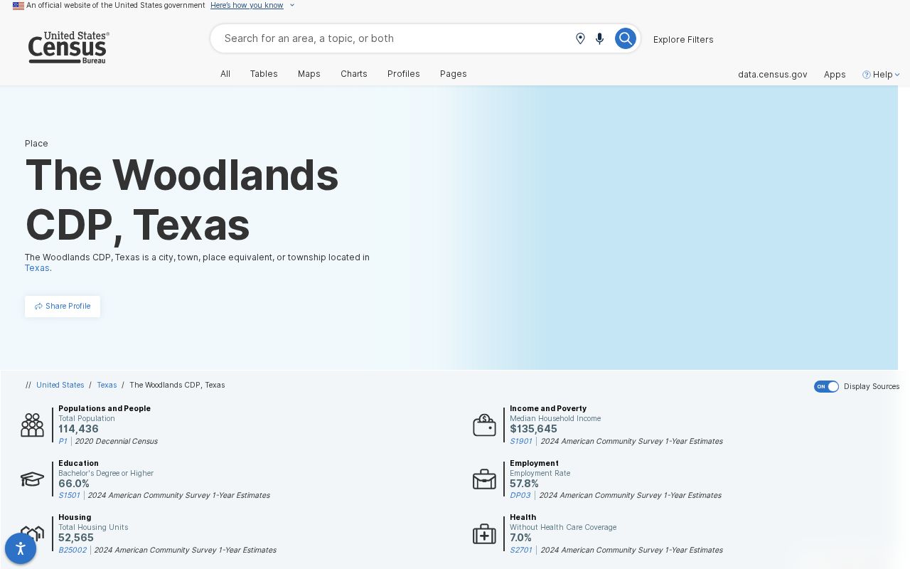
The screenshot supports the CDP and ZCTA relationship, not a current roster or a border determination for an individual lot. Census geography is valuable for context, especially when comparing a wider postal area to the formal CDP, but it should be paired with the parcel record before making a county or neighborhood decision.
Woodlands ZIP Clues in Central Areas
77380 is a core and central-southeast starting point. 77381 is associated with central Woodlands geography, and 77382 with western geography. Those are useful research labels, but the actual village or subdivision should come from the parcel’s village, legal-description, section, block, lot, or association fields. A ZIP alone does not identify whether an address falls in a particular village.
For 77384 and 77385, the edge matters more. The research places 77384 around the north and east community edge and College Park area, while 77385 reaches the east and I-45 edge. A postal city of Conroe can coexist with Woodlands-area geography. Record both values instead of correcting one to match the other.
The remaining intersections need the most restraint. 77354 reaches the northern or northeastern fringe, while 77375 has northeastern and southern fringe intersections. The authoritative research did not identify an exact village or parcel extent for either one. For those areas, enter the full address in USPS, then compare the Township parcel attributes and the applicable appraisal record. A broad ZCTA label should never be used to place a property inside a particular village.
Woodlands ZIP Postal Labels
A The Woodlands address may use Spring or Conroe as its postal city. Postal city, Census place, Township boundary, county boundary, and ZCTA are separate geographies. This is the local postal-code quirk worth keeping on every worksheet: a familiar community name tells a reader little about the clerk, appraisal district, court, voter office, or water district that holds the relevant record.
The USPS postal lookup is the live source for an address, city, and delivery result. The live tool’s result-field inventory was not captured in the research, so use its full-address output as the current postal authority rather than relying on an old city-and-ZIP list.
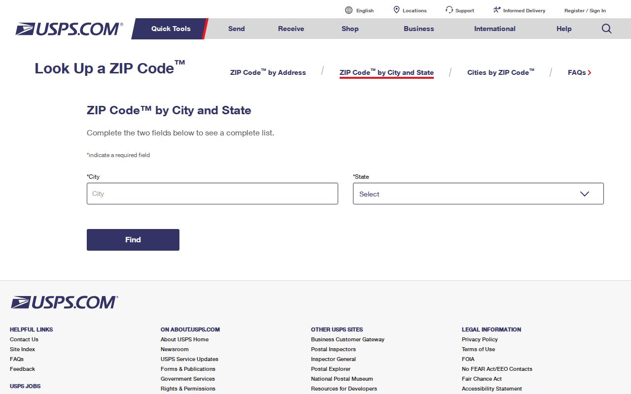
After USPS returns the delivery result, preserve the address exactly as checked and add the date. The postal result answers a delivery question. It does not identify a Township village, prove CDP membership, or choose between Montgomery and Harris County.
Woodlands ZIP Code Parcel Fields
The Township Parcel FeatureServer exposes a ZIP_CODE field alongside CIVIC, FORMATTED_ADDRESS, CITY, STATE, village, subdivision, legal-description, plat, and appraisal-district information. It supports attribute and spatial queries, GeoJSON output, pagination, and spatial filtering. The service can connect a postal clue to the community’s own geographic attributes without treating the ZIP as a property boundary.
| Full postal address | Start with USPS to verify the mailing presentation and ZIP for the exact address. |
|---|---|
| ZIP_CODE | Township parcel field that connects the address to parcel-layer geography. |
| VILLAGE and VILLAGEGROUP | Community fields that add detail a postal label cannot supply. |
| PID or ParcelID | Identifiers useful for matching the correct appraisal-district or clerk route. |
| APPRDIST | A field that helps route a parcel toward the correct appraisal district. |
Parcel owner and mailing attributes are GIS fields, not proof of current presence. Cross-check the correct appraisal district and any applicable confidentiality rule before treating an address-linked output as reliable.
MCAD’s public property-search entry point is a live JavaScript application. Research identified owner name, property address, account or Property ID, Geographic ID, and legal description as useful search approaches, but did not verify a ZIP filter or a current result-column layout. That matters when a ZIP search fails: use the full address or parcel identifiers rather than assuming the portal accepts every postal-field query.
Find Woodlands Residents by ZIP
A ZIP-based search becomes stronger when it moves from delivery geography to a confirmed parcel and then to the proper county record. MCAD property search can search or display property addresses, although the research did not verify a live ZIP filter interface. The Township layer does expose ZIP_CODE. The process below keeps those limits visible and avoids treating a ZIP-wide result as a complete list of people.
- Enter the complete address in USPS and record the current postal city and ZIP result.
- Query the Township parcel layer to compare ZIP_CODE with the civic address, village, parcel ID, and APPRDIST.
- Use the resulting county and appraisal district to confirm the appropriate property or clerk record.
- For an association question, search the Texas HOA Management Certificate tool by ZIP together with county, city, HOA name, or type.
- Keep the portal date and its disclaimer with the search notes, then verify a record through its custodian.
Once the ZIP has narrowed the area to an address or named road, use the The Woodlands street directory for the separate street-level workflow. That process is better suited to parcel-by-parcel context than a broad postal search.
Woodlands ZIP County Checks
The Texas HOA Management Certificate Search offers filters for HOA Name, County, City, ZIP, and Type. It is useful when an association name or management certificate is the actual question. Its own warning matters: the database relies on user submissions, and completeness and reliability are not guaranteed.
77389 provides the clearest local example. It intersects southern and Creekside-related geography, yet Creekside Park is in Harris County. A Spring postal convention or a Woodlands community name does not change the county route. Check the county before using an appraisal, clerk, court, elections, or constable system.
The Township’s community geography does not erase the split. Most villages and Town Center are in Montgomery County, while Creekside is the ninth village in Harris County. County selection can change the appraisal district, clerk index, court venue, voter file, constable service, and water-district context. Put the county beside the address before saving a ZIP result or opening a records portal.
Woodlands ZIP Code Boundary Limits
ZIP boundaries and city limits are not the same thing in The Woodlands because the community is a Census-designated place and master-planned area, not an incorporated city. The Township, CDP, postal, village, county, and appraisal maps answer different questions. A ZIP search is therefore a starting index, not a legal boundary source or a substitute for the full address workflow.
- ZIP versus ZIP+4
- The five-digit ZIP routes mail to an area; the added four digits refine delivery for a smaller segment.
- PO-box ZIP
- A ZIP assigned for post-office boxes, which may not describe the street-delivery area around the office.
- Unique ZIP
- A ZIP assigned to one institution or organization; none was identified for The Woodlands in the research.
- Carrier route
- A delivery grouping used for mail operations, not a municipal, Township, or county boundary.
A ZCTA is Census geography built from ZIP-related information for statistical reporting. It is useful for comparing the eight intersecting areas, but it cannot decide delivery, parcel ownership, or governmental jurisdiction. A postal result and a ZCTA can both be accurate while describing different geographic systems.
Woodlands ZIP Code Context
Census QuickFacts reports a 2020 The Woodlands CDP population of 114,436, land area of 43.34 square miles, and density of 2,640.5 people per square mile. Those are date-stamped CDP statistics, not a directory and not an estimate for any ZIP. The 2010 CDP population was 93,847, which also shows why a geography and vintage should travel with every statistic.
The useful comparison is between sources, not between unaligned labels. A ZIP-focused worksheet can organize an address, while Census data describes an official statistical area and USPS supplies a current mailing result. Pair all three with the Township parcel layer when the exact location matters.